ETH Zurich opens competence centre for Earth observation
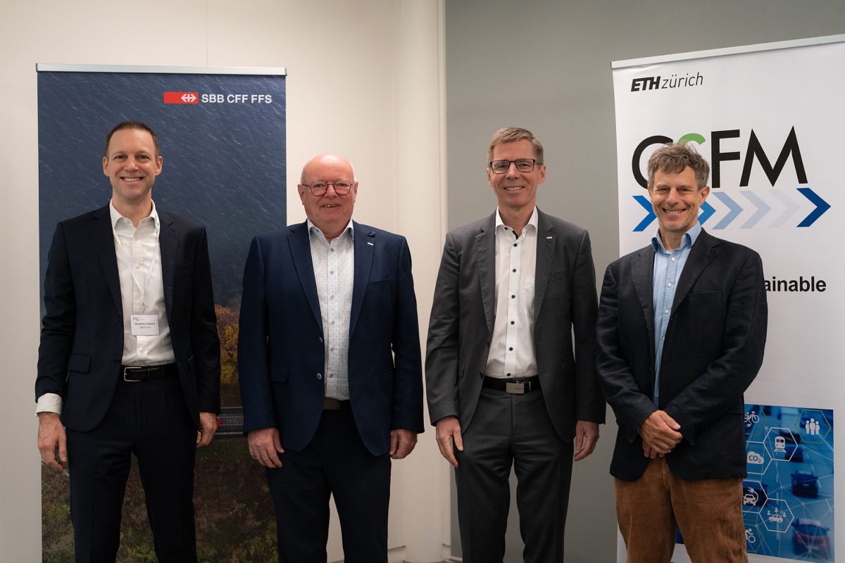
Around a year after the announcement of a generous donation by the Jörg G. Bucherer-Foundation, ETH Zurich opened the ETH Swiss GeoLab on 16 October. Numerous guests from the fields of politics, business and science visited the new site in Root near Lucerne.

© Daniel Winkler / ETH Zurich
© Daniel Winkler / ETH Zurich
On 16 October 2026, ETH Zurich opened the ETH Swiss GeoLab at the new site in the D4 Business Village in Root, near Lucerne. This was just under a year after the university announced its plan to establish a competence centre for Earth observation in the Canton of Lucerne. The guests were greeted by ETH President Joël Mesot and Lucerne Cantonal Councillor Fabian Peter.
In his speech, President Mesot recalled the landslide in Blatten and the flash flood in the border region between Tibet and Nepal. Although science cannot prevent disasters like these, he said, it can help to detect them at an early stage and improve the management of their consequences. “The GeoLab will help the authorities to observe changes in the mountains and take action before anyone is harmed,” Mesot said.
Lucerne Cantonal Councillor Fabian Peter (FDP) emphasised the centre’s importance for Lucerne as a business location: “The ETH Swiss GeoLab is a beacon of research and innovation in the Canton of Lucerne which is already showing its broad appeal today.” It was announced in June 2026, for example, that the international aerospace company Axiom Space would be opening a subsidiary in Lucerne.
Focus on natural hazards, forestry and agriculture
The next speakers were GeoLab Director Verena Griess, Professor of Forest Resources Management at ETH Zurich, and Managing Director Dr Felix Seidel, who took stock following a year of setting up the GeoLab.
In addition to searching for a site, recruiting a core team and networking with potential partners from the fields of politics, business, public administration and science, their main task was to turn a vision into a specific programme.
Initially, this meant defining the centre’s thematic focus areas: “The GeoLab concentrates on the early detection of natural hazards and the optimisation of agriculture and forestry with the help of satellite data,” said Griess.
A platform for geodata
These focus areas will be complemented with an AI-based platform for geoinformation. The goal is to combine satellite and drone images, data from measuring stations and other spatial information and use it to train new AI models for Switzerland. These models will be used in future projects and will be available to decision-makers, researchers and private companies.
The cooperation with the Swiss National Supercomputing Centre (CSCS) in Lugano and its Alps supercomputer will also play a key role. Around 100 petabytes of publicly accessible NASA Earth observation and climate data have already been transferred to CSCS – a quantity of data that is roughly equivalent to 20 million feature films. This data will be used to develop the AI models.